
Omusati Region
-
Outapi | Ruacana | Okahao | Oshikuku | Tsandi
Region Info:
- Capital: Outapi.
- Magisterial districts: Omusati.
- Its name refers to the dominant Mopani tree in the area.
- Area: 26,551 km2
- Population: 243,166 (2011)
- Constituencies: Anamulenge, Elim, Etayi, Ogongo, Okahao, Okalongo, Onesi, Oshikuku, Otamanzi, Outapi, Ruacan, Tsandi.
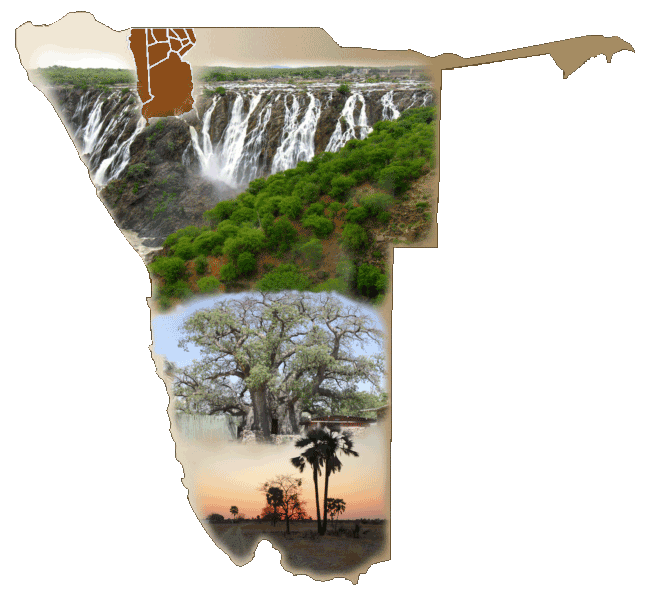
Omusati borders the Cunene Province of Angola in the north. It is predominantly an agricultural region in which Mahangu is cultivated successfully.
A water canal carries water from the Calueque reservoir in Angola along 160km open concrete canal to Oskakati, passing through Outapi. Water from this canal is been use for irrigation at a large government-run farm at Etunda where crops from maize to watermelon to bananas are grown successfully.
a High standard tarmac road runs through the region, providing a direct link to Angola, adjacent regions, and the rest of the Country. This also provide passenger and freight transport to the people of the region.
While in Omusati, here is what you should at least add to your itinerary . . .
- Visit to the Ruacana Falls. The waterfall is 120 meters high and 700 meters wide in full flood. (Seasonal)
- Visit Omugulugwoombashe National Heritage Site. (Where the Namibian Struggle for independence started in 1966)
- Passing through Outapi, the capital of the region, visit some of the open markets that sell local handicraft.
- Also on your list should be the self-governed village of Tsandi and while there pay a visit to the Giant Baobab tree nearby.
- Also visit the uukwaluudhi Royal Homestead of the Uukwaluudhi traditional Kingdom of the Ovambo people (2 km past Tsandi)
